Dakota 576 Crash
During a stormy day back in 1944, Captain JM Talbot attempted to make a landing at the Port Hardy airport, with the extreme weather, he missed his landing and besides the fact that they were extremely low on fuel, he was forced to circle around for a second attempt. Halfway through this maneuver, the plane ran out of fuel, and he was forced to crash-land into the forest just minutes from making his landing. Captain JM Talbot and his navigator, Captain TS Wordlow were both killed in the crash, Sgt. TR Moss who was in the cargo hold survived the crash.

There is a trail that takes you right to the crash site, the trail is just over 4 kilometres long return. The trail itself begins as an old road that although a bit steep at the beginning is easy to walk. During the first part of the hike, you gradually begin to get some awesome views of Port Hardy. There are many beautiful plants and flowers including some very nice forest sections along the trail as well as plenty of birds and other creatures to see, so be sure to bring your camera. The views and birdlife is the reason I always like hiking this trail.

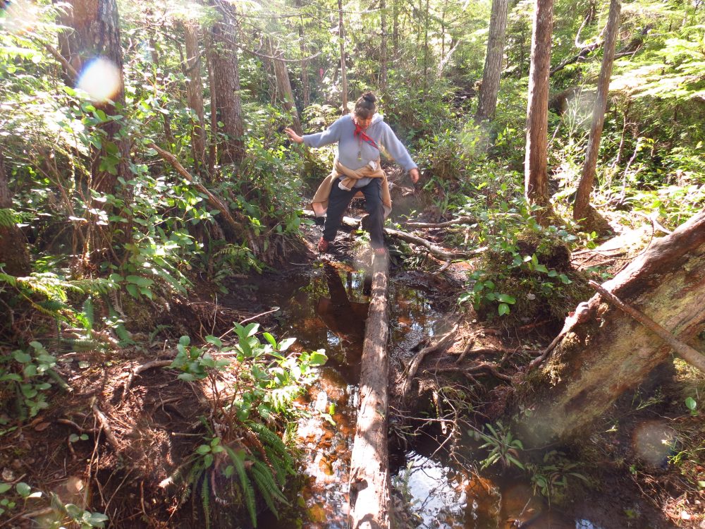
Eventually, the trail leaves the old road and here you will begin to run into some muddy sections where you could easily acquire a soaker, I wear rubber boots when l hike this trail. Finally, you will reach the high point of the trail, and you begin to head down to the crash site, here you will be happy to see that ropes have been installed to make the trip down safer. This may be the toughest part of the trail, but you are not far from the crash site so keep going.

After a short distance from the rope sections you get your first sighting of the crash, it is fairly intact except the cockpit area, and it is laying on the side of a hill. There is a memorial where the cockpit was that details the crash and tells the story of the disaster. It’s a sombre moment as you think about what would have been going through their minds as the plane hit the hillside. You cannot help feeling sad as you take a look around the crash site, Please respect this site and do not remove anything from it.

To reach the trailhead, park at the bear cove boat launch located on the BC Ferry access road. After parking, continue towards the ferry dock for just a short distance where you will see a narrow old overgrown road that is paved on your left side, this is the trailhead. Near the top of the paved section, you will see the trail heads towards the right along an old overgrown gravel road, there are markers to let you know you are going in the correct direction. Follow this for a while until you see the trail section, after this, you just follow this trail right to the plane.